
Ordnance Survey Orange Explorer Map 133 Haslemere & Petersfield
Description
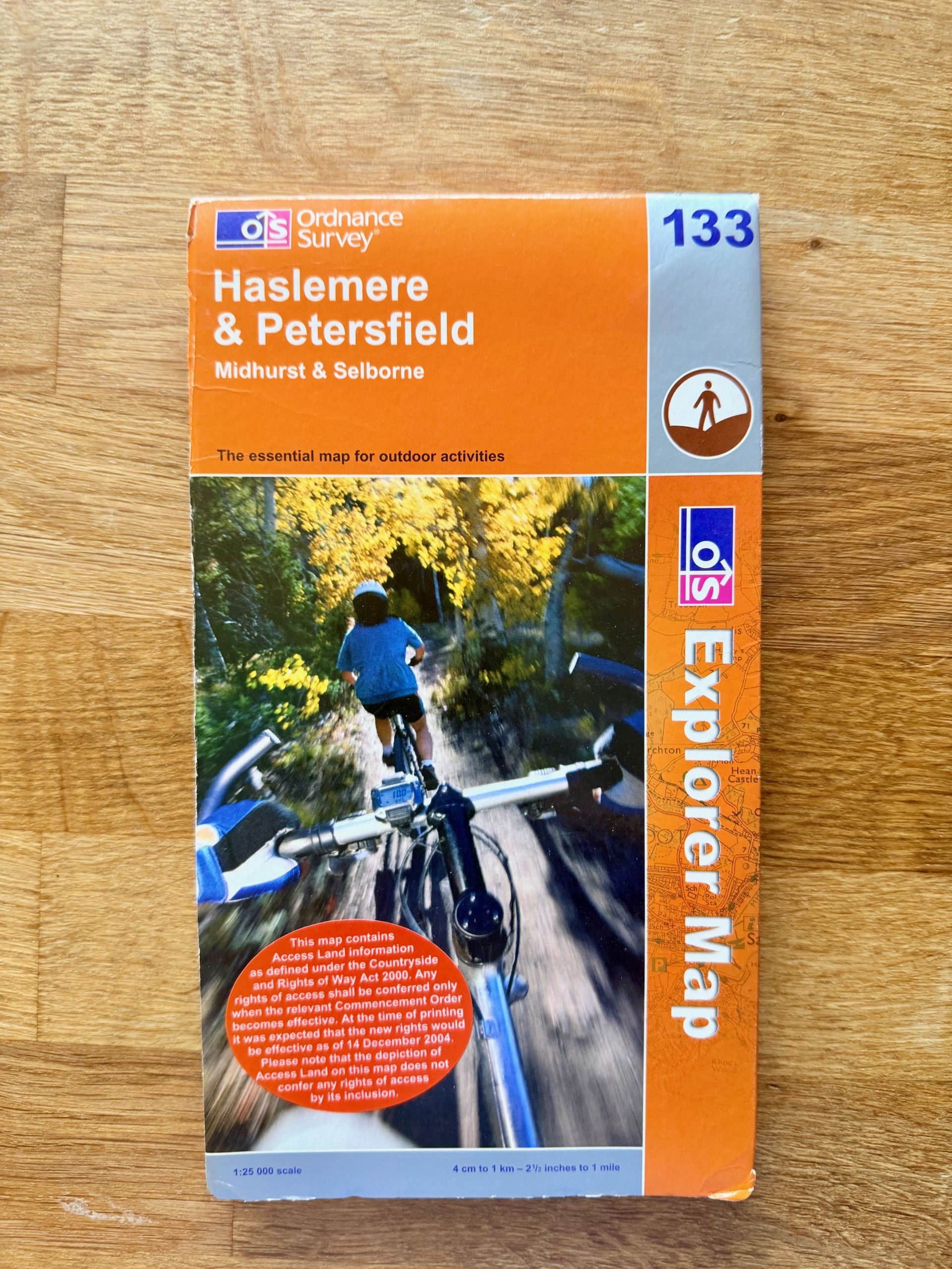
This Ordnance Survey Explorer Map 133 covers Haslemere and Petersfield, including Midhurst and Selborne. The front cover shows some edge wear and minor creasing but is otherwise intact. The map itself is fully unfolded and in good condition with no visible tears or major stains, suitable for outdoor navigation.
Made by Ordnance Survey, this map is printed on durable paper designed for outdoor use, showing detailed topographical features, roads, pathways including the Greensand Way and Sussex Border Path. Published circa 2004, the scale is 1:25,000 or 4cm to 1km (2.5 inches to 1 mile). The back cover provides an area overview and highlights areas of natural beauty. A practical tool for hiking, biking, and outdoor recreational activities.
Details
Explore top 10s

Powered by FLUF Connect
This catalogue is managed with FLUF Connect.
Crosslisting software for resellers — list once, push to Depop, eBay, Vinted, Vestiaire Collective, Poshmark, Whatnot, Shopify and more, with auto-sync on every sale.
Learn more at fluf.io