
Ordnance Survey Explorer 171 Chiltern Hills West Leisure Map
Description
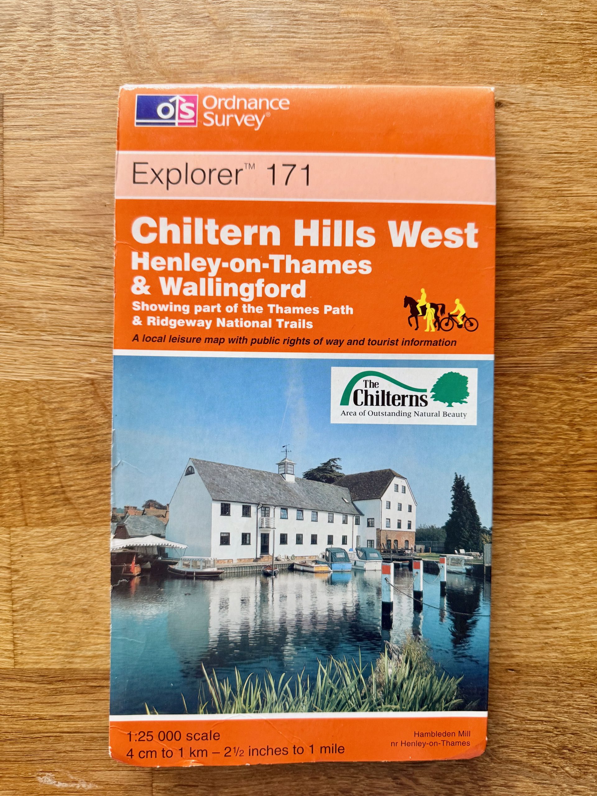
This Ordnance Survey Explorer 171 map covers the Chiltern Hills West area including Henley-on-Thames and Wallingford, featuring part of the Thames Path & Ridgeway National Trails. The map is a detailed local leisure guide with public rights of way and tourist information.
Condition shows some wear with creasing and corner damage visible on the back cover. The map is published by Ordnance Survey, original copyright 1999, made in the UK. The scale is 1:25,000 (4 cm to 1 km or 2½ inches to 1 mile). It is printed on durable paper and folds out to a full detailed area map perfect for walkers and outdoor enthusiasts.
Details
Explore top 10s

Powered by FLUF Connect
This catalogue is managed with FLUF Connect.
Crosslisting software for resellers — list once, push to Depop, eBay, Vinted, Vestiaire Collective, Poshmark, Whatnot, Shopify and more, with auto-sync on every sale.
Learn more at fluf.io