
Ordnance Survey Orange Explorer OL14 Wye Valley & Forest Map
Description
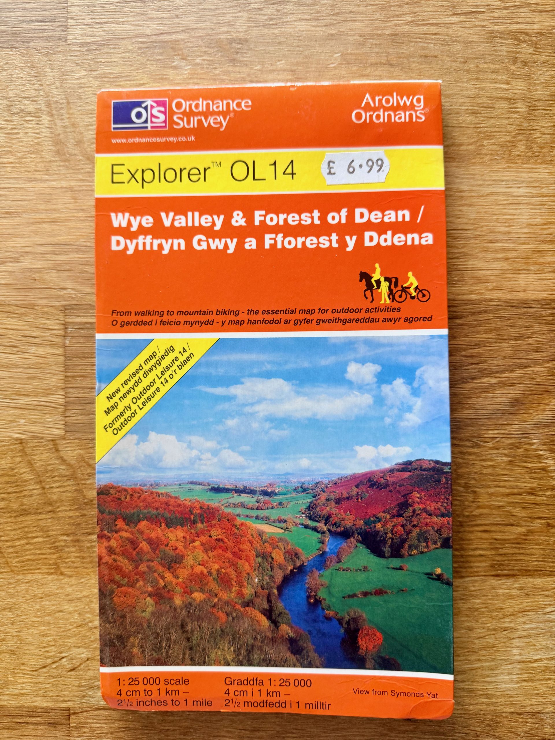
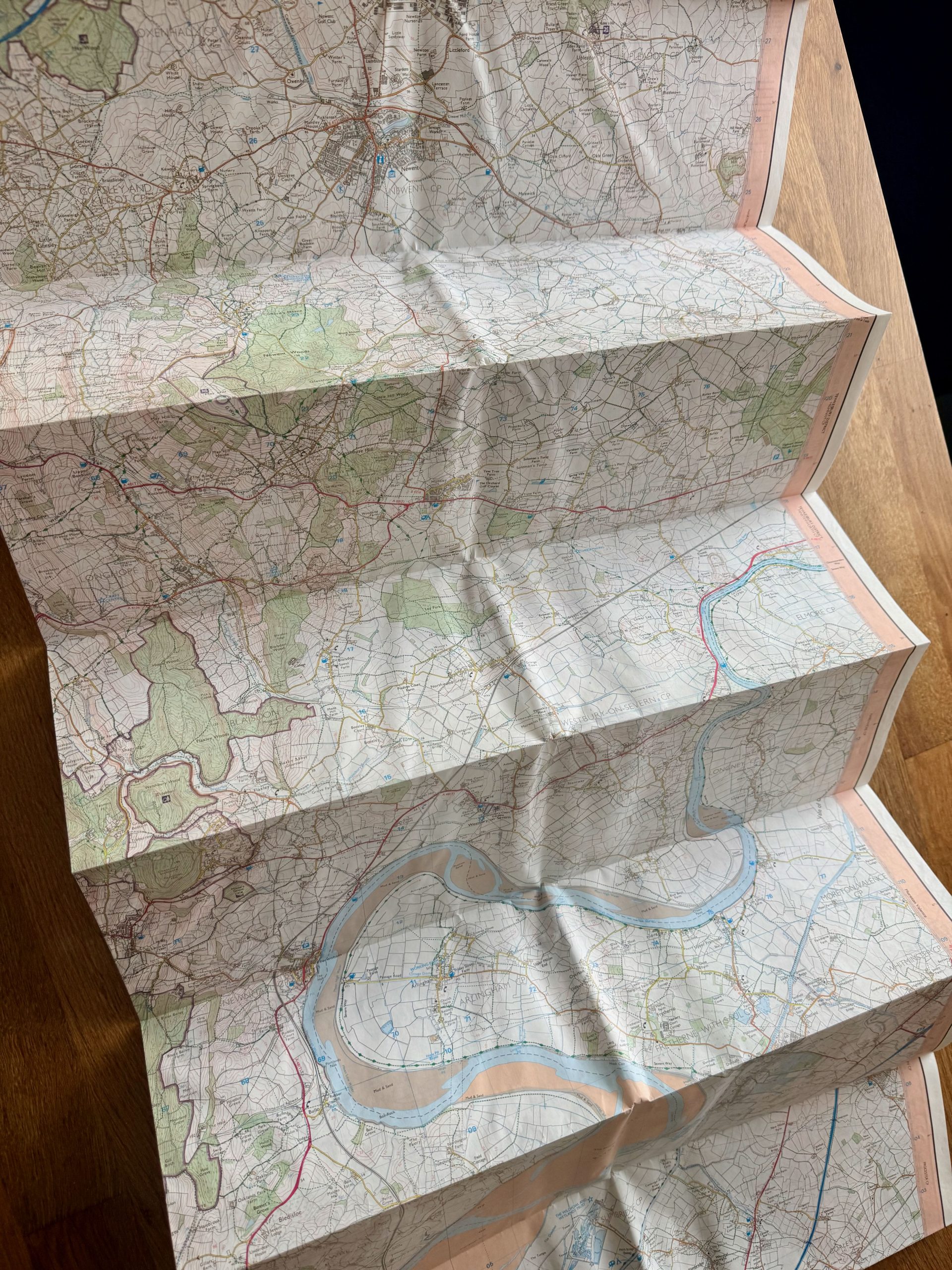
This is an Ordnance Survey Explorer OL14 map featuring the Wye Valley & Forest of Dean. The map is in good condition with some signs of wear including slight edge creasing and a few fold marks visible from use, but no tears or major stains. The cover shows mild surface wear. The map scale is 1:25,000, meaning 4 cm on the map corresponds to 1 km on the ground, ideal for detailed walking, hiking, and outdoor activities. The inner pages are printed on durable paper designed for outdoor use, showing clear, detailed topographic information and trails.
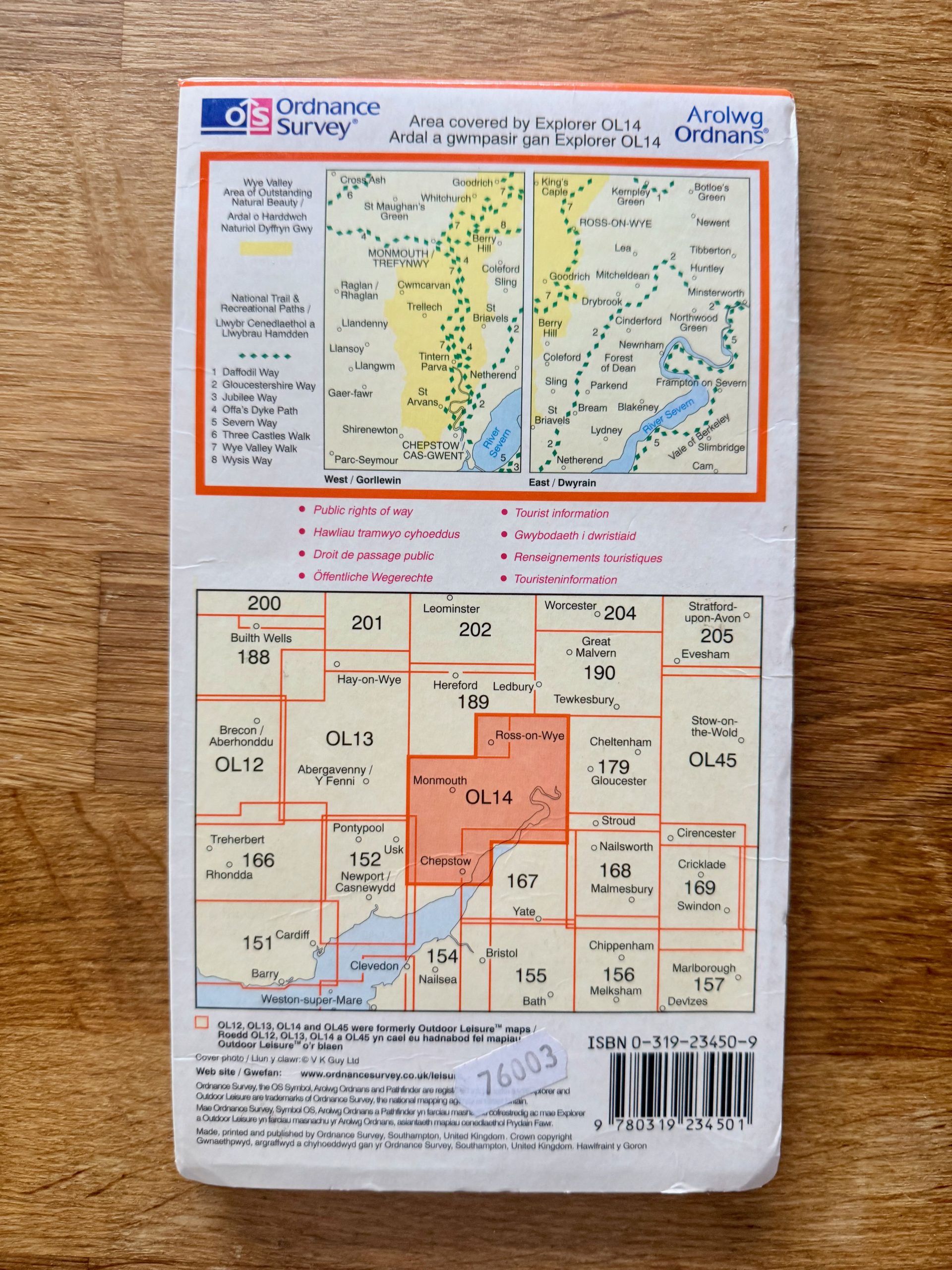
This map is a newly revised edition, originally titled Outdoor Leisure 14, and includes national trail paths and public rights of way. It is a bilingual edition with English and Welsh text. The map is perfect for outdoor enthusiasts seeking detailed regional information for navigation and exploration in South Wales and surrounding areas.
Details
Explore top 10s

Powered by FLUF Connect
This catalogue is managed with FLUF Connect.
Crosslisting software for resellers — list once, push to Depop, eBay, Vinted, Vestiaire Collective, Poshmark, Whatnot, Shopify and more, with auto-sync on every sale.
Learn more at fluf.io
