
Similar items
Ordnance Survey Landranger 166 Luton Hertford & Surrounding Area Map
Description
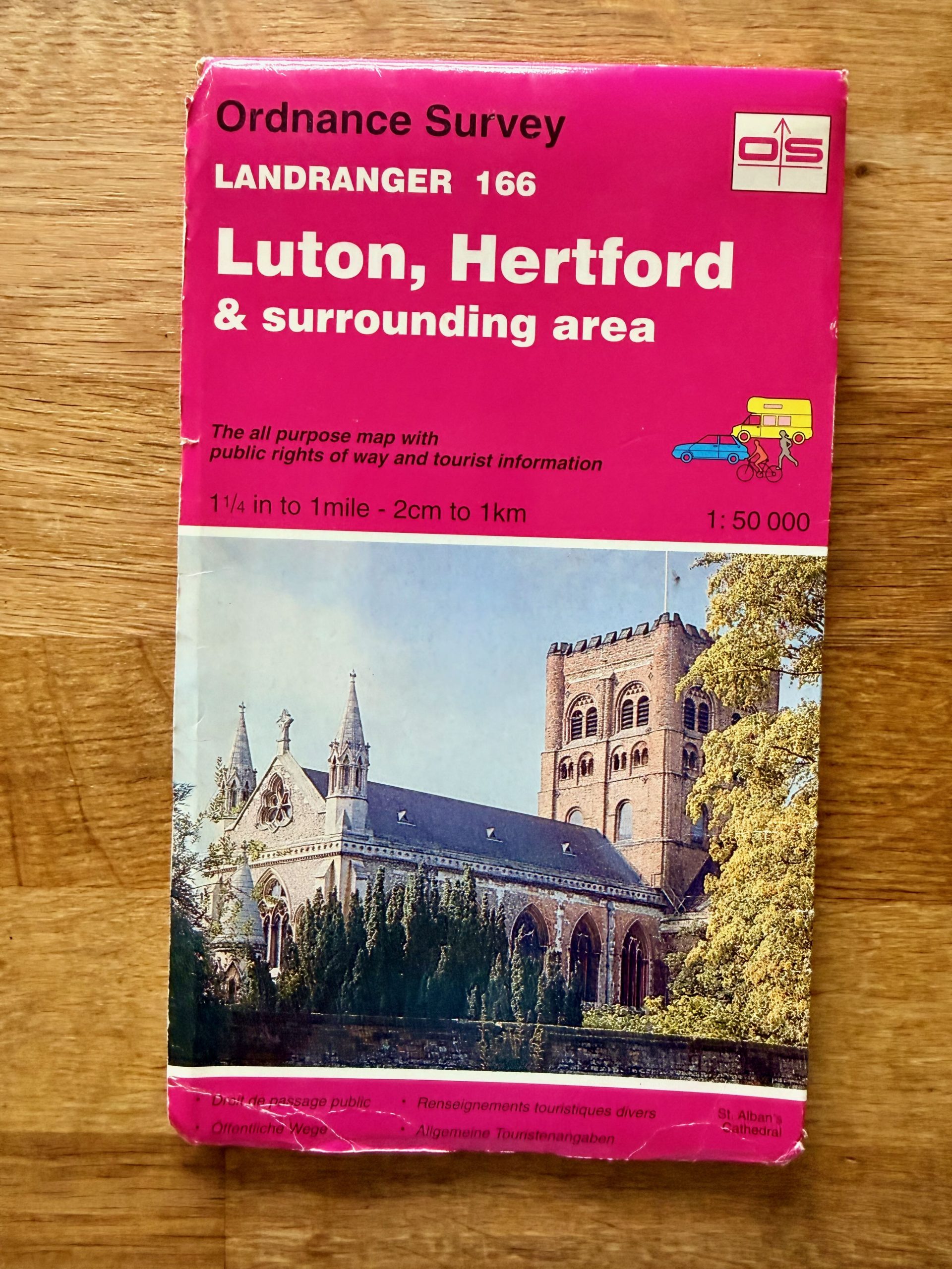
This Ordnance Survey Landranger map 166 covers Luton, Hertford, and the surrounding areas of the UK, featuring a detailed 1:50,000 scale. The map is in used condition with visible edge wear, creases, and slight surface scratches on the cover, typical of light usage. The map itself is intact and complete, made from durable paper suitable for outdoor use and detailed navigation.
It includes essential public rights of way and tourist information, making it ideal for hikers, travelers, and local explorers. The packaging shows a colored photograph of St. Alban's Cathedral on the front, with the reverse side providing an index to the Landranger map series. ISBN and publisher details are printed on the back, with the map sourced from Ordnance Survey, Southampton. Approximate folded size is pocket-map friendly and easy to carry for outdoor activities.
Details
Explore top 10s

Powered by FLUF Connect
This catalogue is managed with FLUF Connect.
Crosslisting software for resellers — list once, push to Depop, eBay, Vinted, Vestiaire Collective, Poshmark, Whatnot, Shopify and more, with auto-sync on every sale.
Learn more at fluf.io