
Similar items
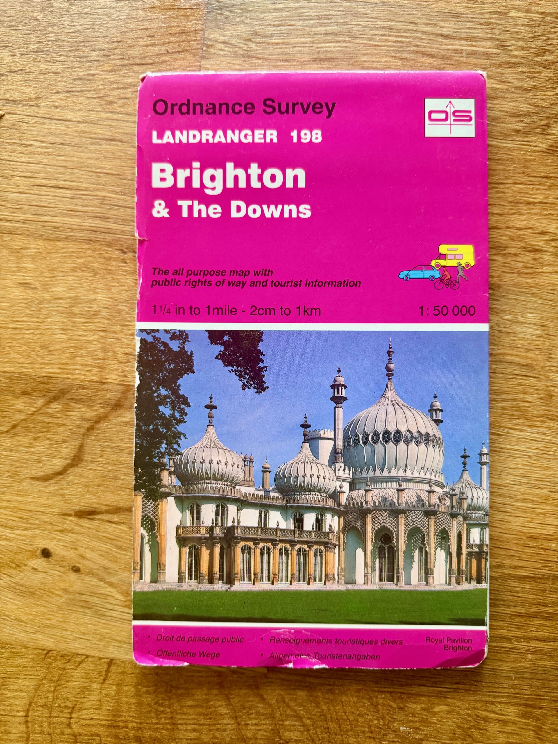



Ordnance Survey Landranger 198 Brighton & The Downs Map
Description
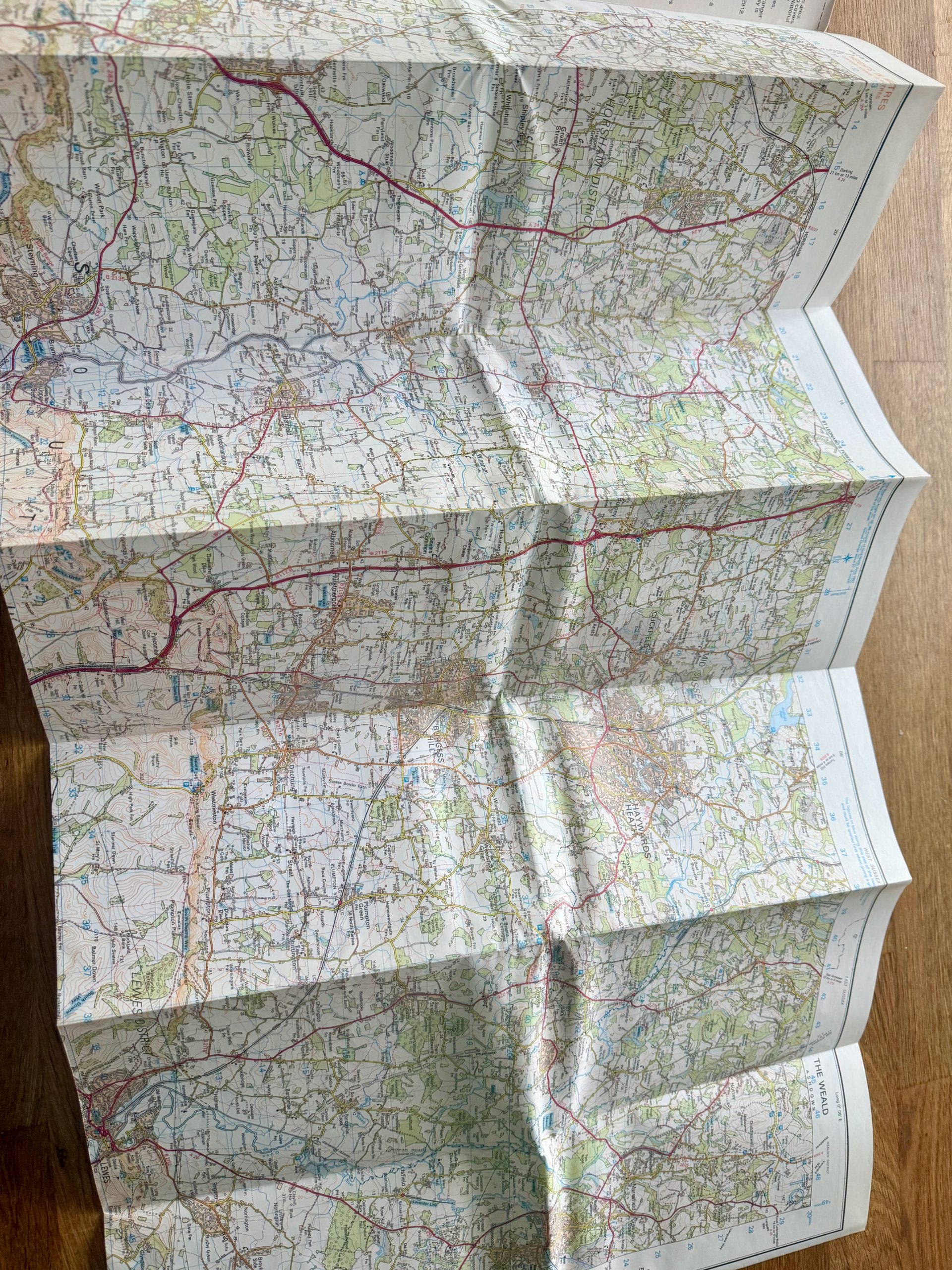
This Ordnance Survey Landranger map of Brighton & The Downs is in used condition with visible wear including creases, edge scuffs and slight corner bends as shown in the photos. It is a paper map printed to a scale of 1:50,000 (1¼ inch to 1 mile), offering detailed topographic information along with public rights of way and tourist data. The map covers the Brighton area and surrounding downs, featuring detailed road, landscape, and urban details.
The cover is made of sturdy card showing photographic artwork of the Royal Pavilion Brighton. The map itself folds out to a large size, approximately shown in the images, suitable for hiking, tourism, or local navigation. The map is part of the popular and trusted Landranger series by Ordnance Survey, printed and published in Great Britain. This is an essential collectible or functional map for outdoor enthusiasts or locals exploring this region.
Details
Explore top 10s

Powered by FLUF Connect
This catalogue is managed with FLUF Connect.
Crosslisting software for resellers — list once, push to Depop, eBay, Vinted, Vestiaire Collective, Poshmark, Whatnot, Shopify and more, with auto-sync on every sale.
Learn more at fluf.io
