
Similar items
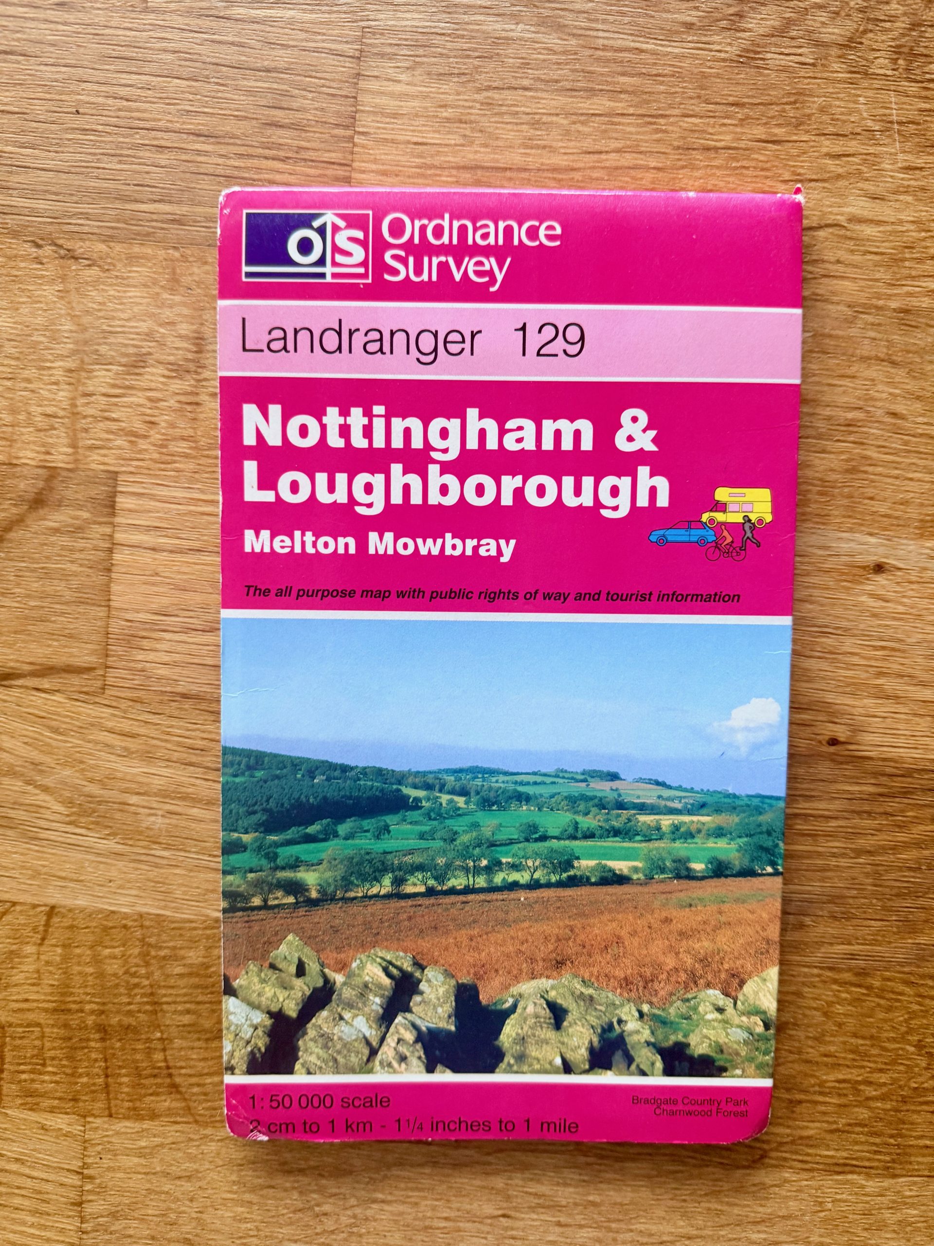
Ordnance Survey Nottingham & Loughborough Landranger Map 129
Description
This is an Ordnance Survey Landranger map sheet 129 covering Nottingham, Loughborough, and Melton Mowbray areas. The map is designed at a 1:50,000 scale, with 2 cm to 1 km and 1¼ inches to 1 mile conversions clearly indicated. The cover has some minor corner wear and edge creasing but remains in overall good condition. The map inside is folded and has typical light signs of use with no major tears or stains visible.
Made and printed by Ordnance Survey in the UK, this is an all-purpose map including public rights of way and tourist information. It features detailed roads, terrain, and landmarks, useful for walkers, cyclists, and drivers. The back shows the full Landranger series index with the location of sheet 129 highlighted. Ideal for enthusiasts of British geography or planning outdoor activities.
Details
Explore top 10s

Powered by FLUF Connect
This catalogue is managed with FLUF Connect.
Crosslisting software for resellers — list once, push to Depop, eBay, Vinted, Vestiaire Collective, Poshmark, Whatnot, Shopify and more, with auto-sync on every sale.
Learn more at fluf.io